UW–Madison and Green Bay-area partners build flood resilience along the East River
With coordinating support from UW–Madison’s Wisconsin Sea Grant, the East River Collaborative brings together The Nature Conservancy, NEW Water and local governments to build a more resilient East River watershed.
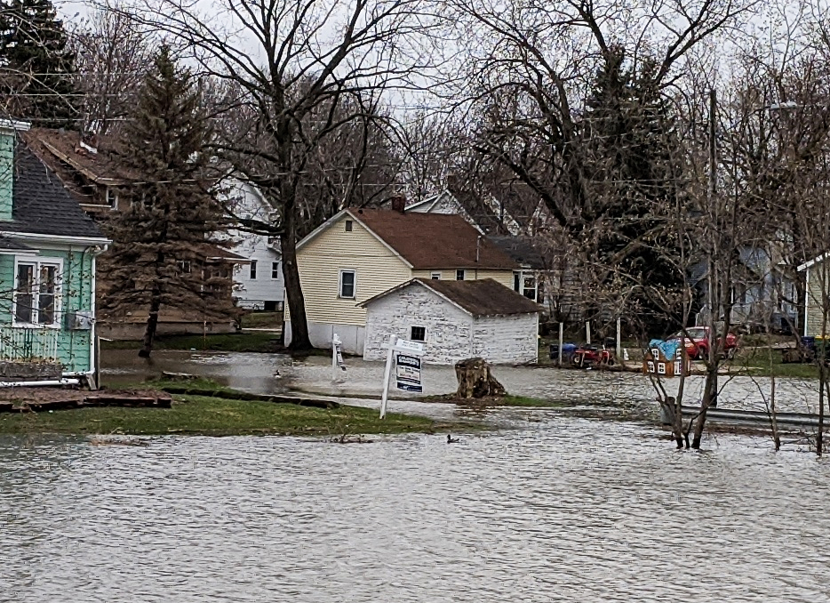
GREEN BAY, WIS. – Before dawn on a wintry morning in March 2019, the East River spilled out of its banks and into people’s lives. Homes flooded. Basements filled. By the time the water receded, nearly 150 people were rescued and over 35 houses in the Green Bay area had been condemned.
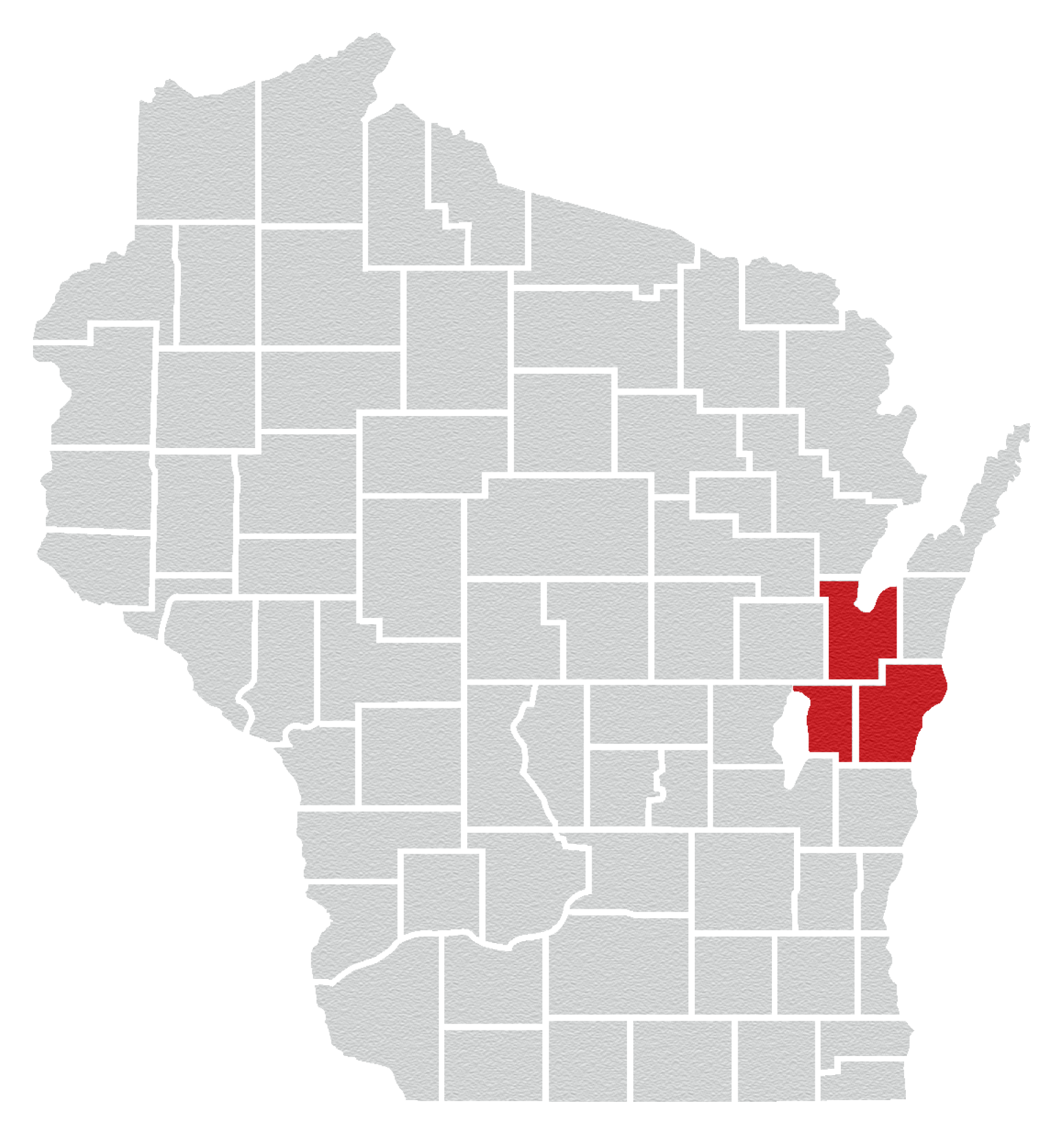
The flooding didn’t respect municipal boundaries, and neither could the fix. The East River winds south to north roughly 42 miles through Calumet, Manitowoc and Brown counties, threading past farm fields, suburban subdivisions and downtown Green Bay before it joins the Fox River and empties into the bay of Green Bay. “Every drop of water that falls within a watershed will make its way, either over land or via tributary, into the East River and eventually into Lake Michigan,” explains Kayla Wandsnider, The Nature Conservancy’s former East River Community Resilience Fellow.
No single town, village or city could solve the problem alone.
“Working beyond borders can be challenging for local governments,” says Julia Noordyk, water quality and coastal communities specialist with Wisconsin Sea Grant, based at the University of Wisconsin–Madison.
So, in 2020, a group of partners set out to work across those borders and towards solutions. The creation of the East River Collaborative brought Wisconsin Sea Grant together with The Nature Conservancy and NEW Water, the brand of the Green Bay Metropolitan Sewerage District, along with municipal, state, federal and university partners spanning the watershed.
Science, coordination and local decision-making
Sea Grant’s role has been to provide the coordinating capacity, technical assistance, research and community engagement that local officials need to make good decisions for their own communities.
“Every community is extremely different, and we’re not there to tell them what to do,” Noordyk says. “We’re there to listen and to figure out how to help them achieve flood resiliency based on what their community’s goals are.”
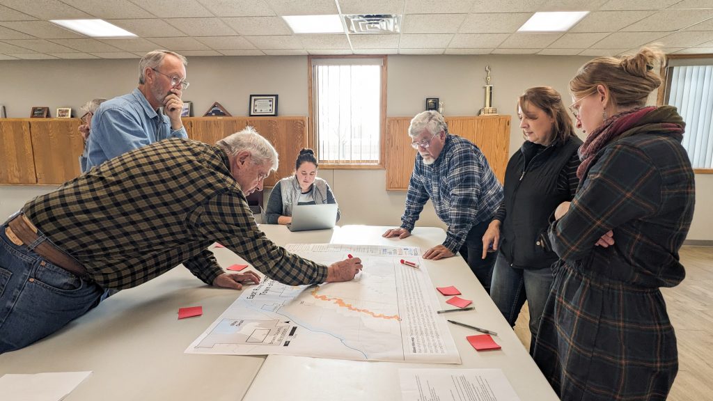
The collaborative has worked with communities to identify shared goals across the watershed and developed maps and models to visualize flooding impacts with help from the UW–Madison Cartography Lab. The first phase of the project also included a major flood modeling effort led by UW–Madison civil and environmental engineering professor Chin Wu.
The Nature Conservancy’s Kari Hagenow, a coastal resilience specialist, points out the stakes go beyond flooding alone: the East River is one of the highest sources of phosphorus and sediment pollution flowing into the bay of Green Bay,
“[The East River] is one of the highest loading tributaries to the bay of Green Bay,” Hagenow said. “So we know that the work that we’re doing will not only benefit flood resilience, but it’s also going to benefit water quality in the bay of Green Bay and better fish and wildlife habitat in the system.”
The effort builds on Wisconsin Sea Grant’s long history in the region. Since 1968, the program’s network has funded 91 Green Bay-focused research projects, investing more than $8.8 million in work on issues including contaminants, the Lake Michigan food web and water quality.
Solutions on the ground
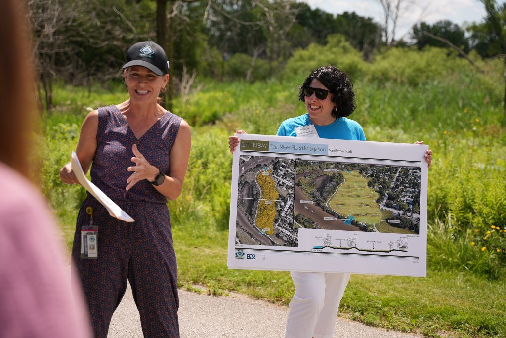
One way the Collaborative helps communities move from planning to action is by bringing them together to see what flood resilience can look like on the ground. During a recent field tour, local municipalities and environmental organizations visited green stormwater infrastructure projects across Green Bay, including Webster Avenue, where seven bioswales planted with native grasses and late-season blooms stretch nearly a mile down the road median, soaking up stormwater runoff that would otherwise rush straight into storm sewers.
“These plant species offer aesthetic value. They also offer pollinator habitat,” says Adam Meade, a stormwater engineering technician with the city of Green Bay who maintains the median. “And the real key thing is that they treat stormwater.”
At NEW Water’s campus, more than 2,000 square feet of permeable pavement lets rain filter through gravel layers instead of pooling on pavement, and a new prairie planting replaces more than an acre of turf grass. At Danz Park, the city worked with the Green Bay Conservation Corps to plant 9,400 prairie plants that both soak up water and beautify the space.
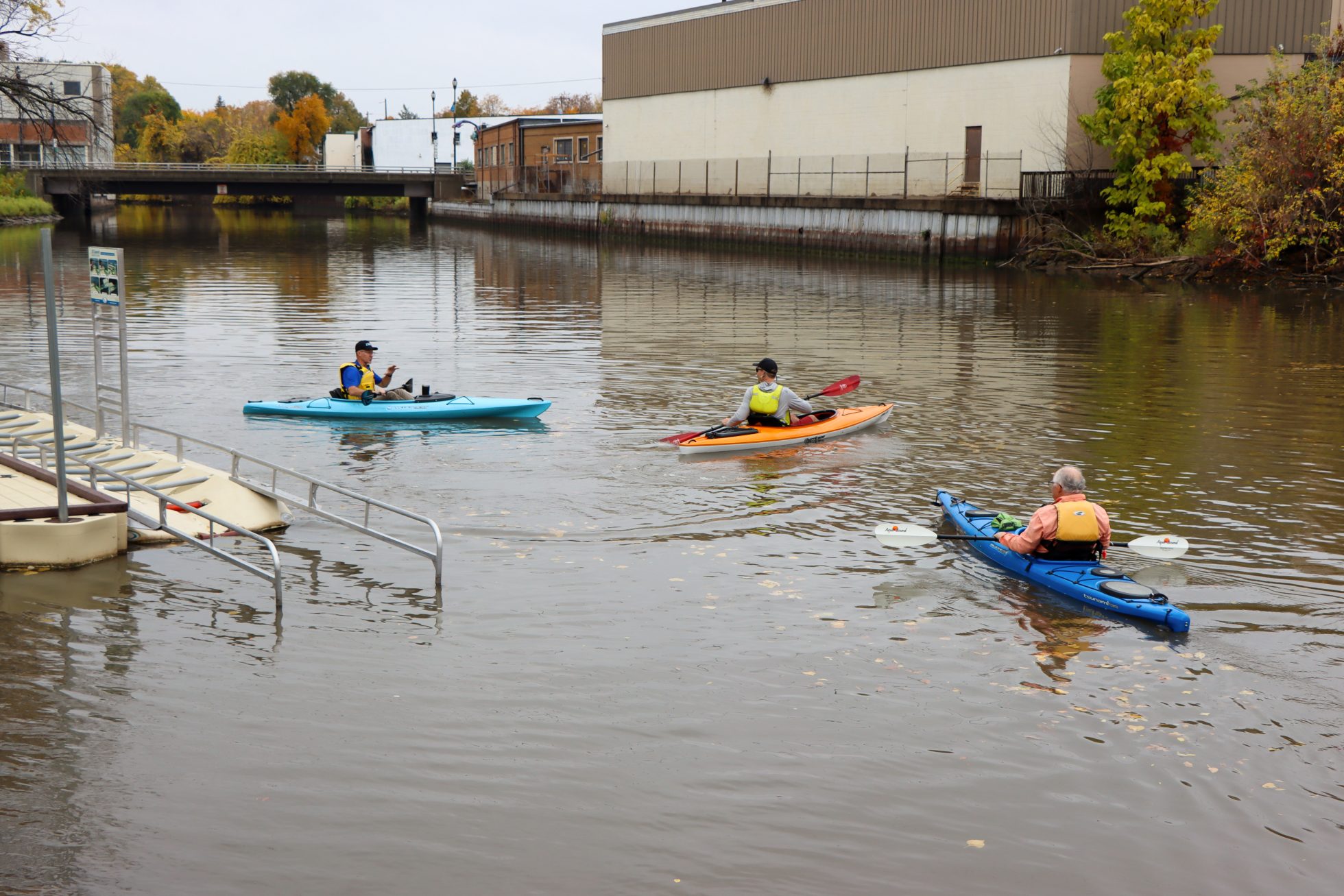
The partnership is also helping communities think about the river as a place for recreation and public access. With support from the Wisconsin Coastal Management Program, Allouez led the development of the East River Recreational Trail Master Plan that includes 22 site concept designs to improve flooding, wildlife habitat, and recreation access along the trail spanning Ledgeview, De Pere, Allouez, Bellevue, and Green Bay.
Community voices have been critical to shaping what comes next. A partnership with the UW–Madison Division of Extension’s Natural Resources Institute and Wello, a local health equity nonprofit, is gathering feedback from neighborhoods most affected by flooding, so their priorities inform future projects. And Sea Grant coastal engineering specialist Adam Bechle has been working with the National Weather Service and Brown County to lay the groundwork for a flood warning system on the river.
Results that keep communities coming back
Perhaps the clearest sign of success is that people keep showing up, even when floodwaters aren’t top of mind.
“We still have the same number of people showing up to meetings as when we kicked off,” Bechle says.
That steady engagement reflects what the partnership was built to do: give communities across an entire watershed the tools, science and shared space they need to make their own neighborhoods safer, healthier and more resilient, together.